Intelligent system for the identification and classification of affected areas
Visual AgriRecover
Post-Disaster Agricultural Resilience
AgriRecover is the comprehensive solution by VisualNacert designed to accelerate recovery and optimize the resilience of agricultural areas affected by natural disasters.
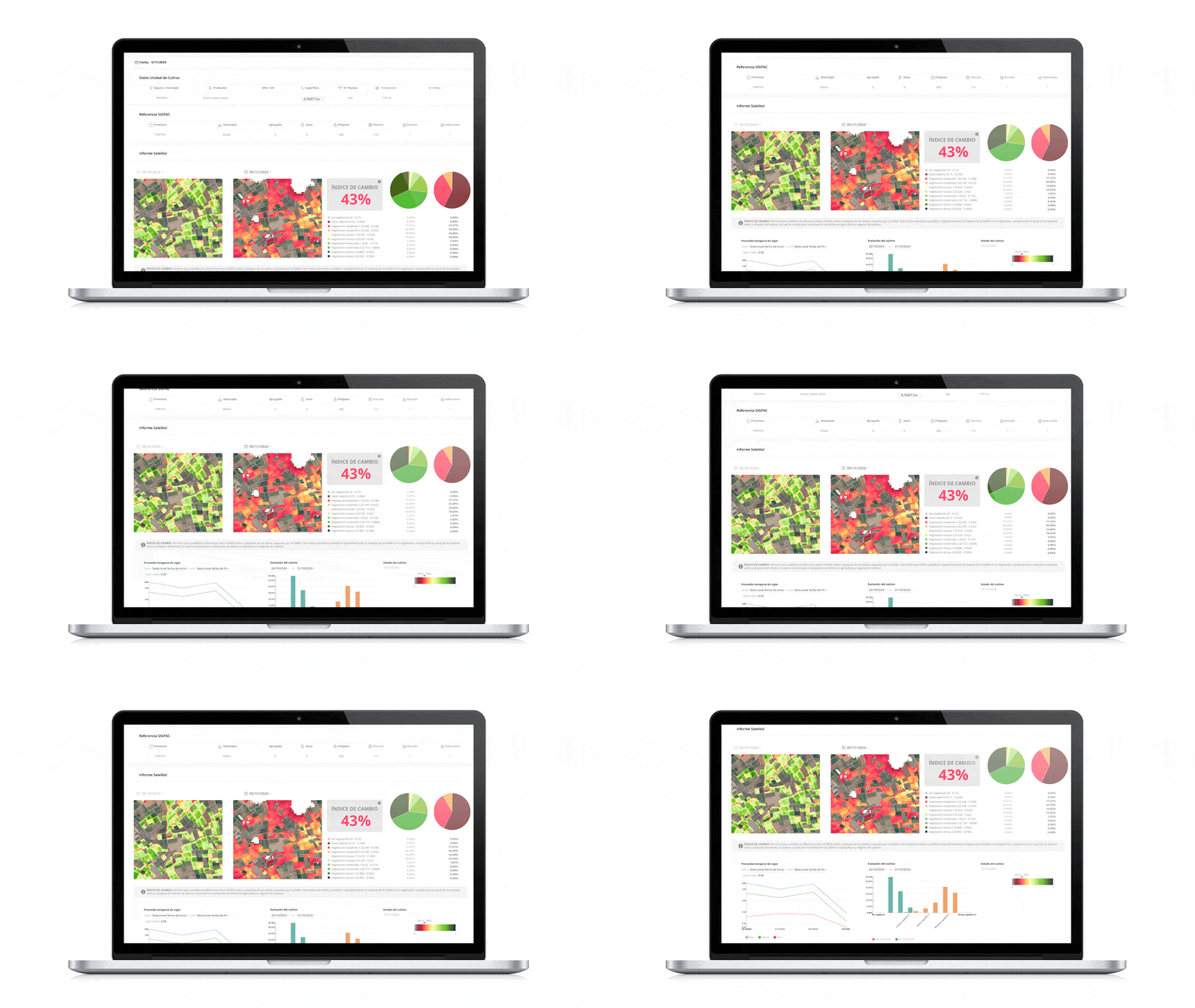
What is VISUAL AgriRecover?

Agricultural rehabilitation tool that encompasses reconstruction and replanting

It combines advanced geospatial technology with AI.

Focus on rapid recovery and prevention of future damage
Unique features
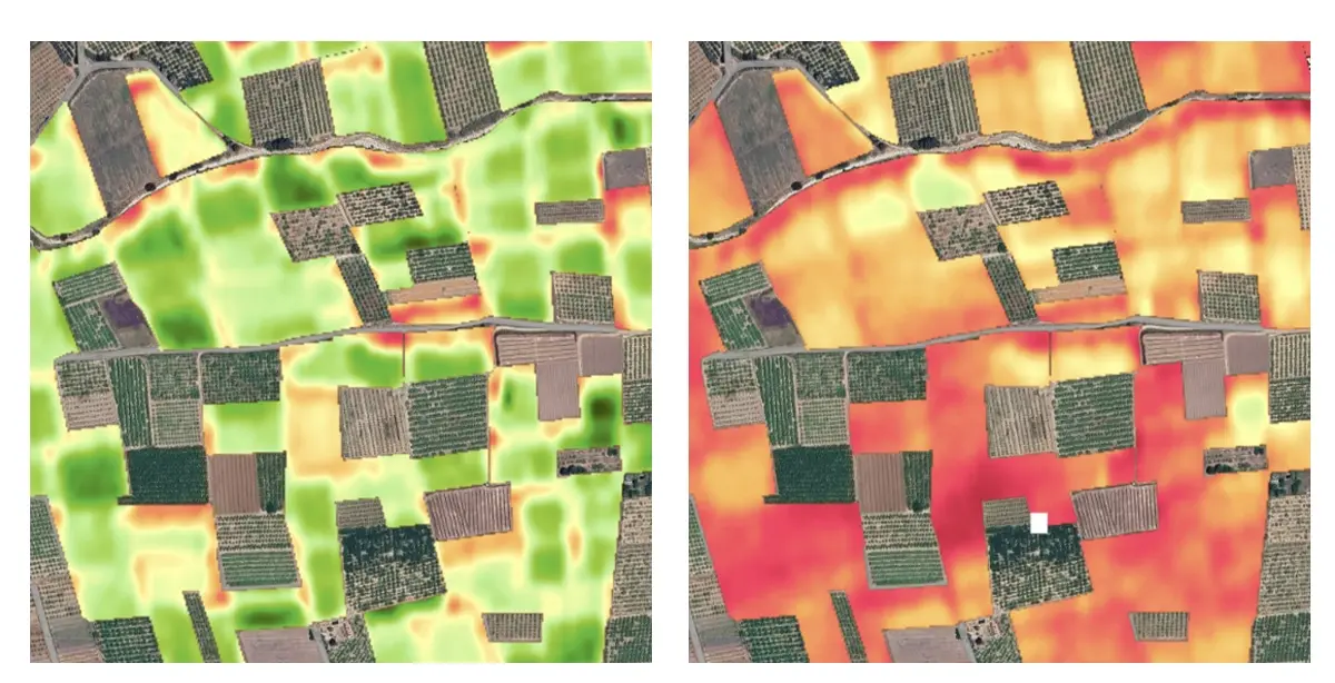
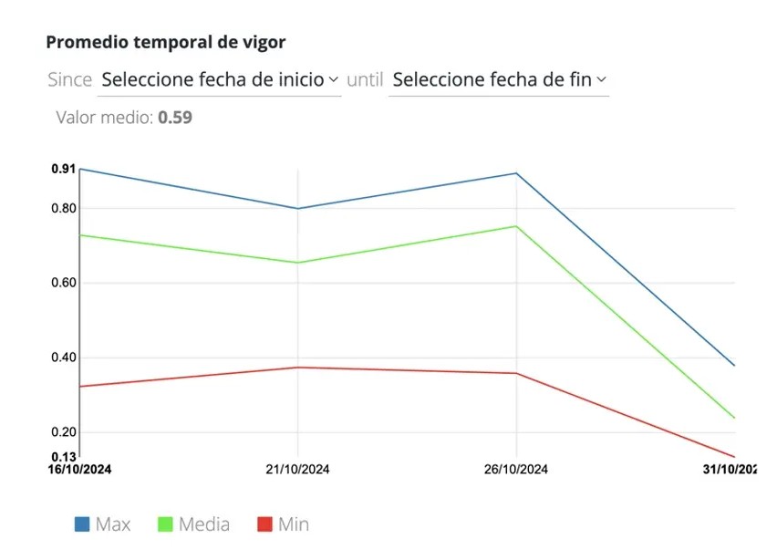

Identification and classification of affected areas.
• Damage mapping using cutting-edge satellite technology
• Classification of crop damage levels for effective response

Comprehensive task management
• Planning of on-site assessments
• Efficient allocation of resources and experts
• Crop applications for technicians and work teams
• Real-time updates on status and progress
• Capture of georeferenced photographs
• Generation of optimized routes
• Detailed and customizable reports

Rehabilitation and reconstruction
• Planning of resilient crops using climate models
• Reconstruction and replanting strategies adapted to new conditions
If you’re interested, get in touch with us. We’ll inform you about how the new Visual AgriRecover solution works
Why choose VISUAL AgriRecover?

Experience and Reliability
VisualNacert has a solid track record in the agricultural sector, having collaborated with Agroseguro in managing areas affected by natural disasters, as well as with irrigation communities and affected cooperatives. This experience allows us to offer solutions tailored to the specific needs of farmers and agri-food companies.

Comprehensive and Customized Solution
AgriRecover is not just software; it is a complete platform that integrates advanced geospatial technology, data analysis, and management tools. This enables users to have a holistic view of their situation, facilitating informed decision-making at every stage of the recovery process.

Technological Innovation
Our solution uses cutting-edge satellite technology and artificial intelligence models to identify affected areas, classify damages, and plan resilient crops. This innovation ensures that our users are always one step ahead of future climate challenges.

Fast and Efficient Implementation
AgriRecover can be deployed quickly. This speed is crucial in emergency situations where every day counts.

Focus on Sustainability
We are committed to agricultural sustainability and support our clients in their transition to more responsible practices. AgriRecover helps optimize resource use, contributing to a greener future for the agri-food sector.

Continuous Support and Training
We offer exceptional service and ongoing training to ensure that our users make the most of all the features. Our team is available to answer questions and provide technical assistance.
Benefits
AgriRecover not only provides tools for immediate recovery but also lays the foundation for more resilient and sustainable agriculture in the long term.

50% reduction in damage assessment time

30% improvement in resilient crop planning

15% increase in resource allocation efficiency

Optimization of agricultural rehabilitation through advanced geospatial analysis

Effective coordination between field teams and managers

Faster and more accurate decision-making based on real-time data
Visual AgriRecover, the solution for agricultural recovery
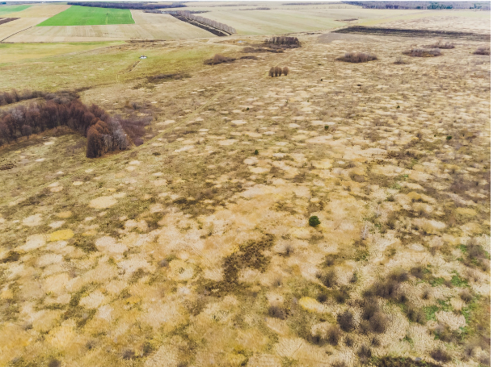
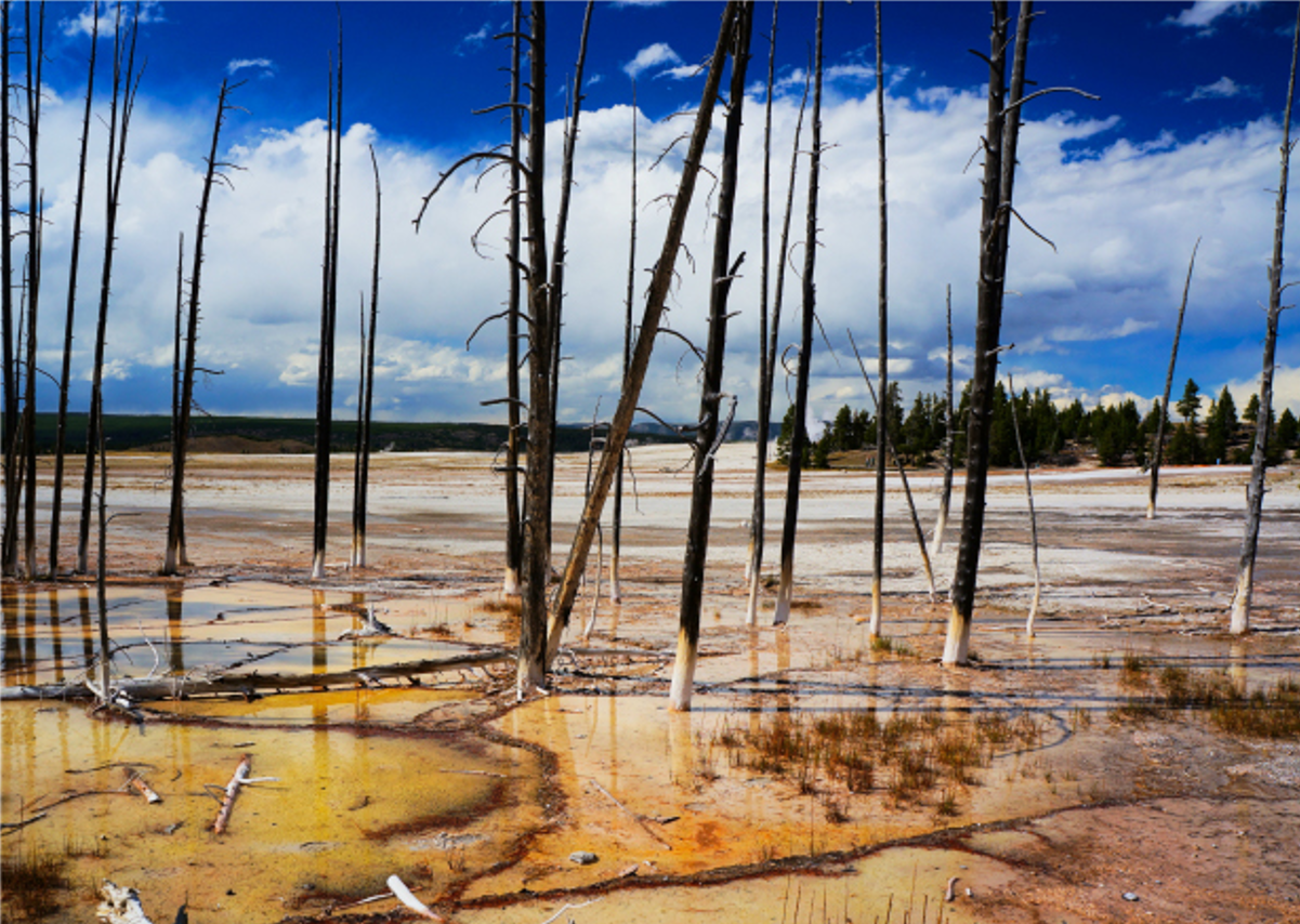
Use Cases of AgriRecover
AgriRecover has proven its effectiveness in various real-life situations, helping communities and organizations manage the impacts of natural disasters. Below are some highlighted use cases:
Agroseguro
Our collaboration with Agroseguro has been efficient and precise in managing areas affected by natural disasters. Together, we worked on identifying and classifying affected areas, as well as pinpointing ground zero, assessing the impact, and prioritizing recovery zones. This project not only strengthens our ability to deliver solutions in record time but also ensures that farmers have the backing of technology.
Godelleta Irrigation Community
The Godelleta Irrigation Community faced significant challenges due to the DANA, which severely impacted their irrigation infrastructure. With VISUAL AgriRecover, a precise identification and classification of affected areas was carried out, allowing for early impact assessment. The use of technology facilitated decision-making for rehabilitation and reconstruction, optimizing the efficient allocation of resources.
CANSO Cooperative
The CANSO Cooperative used VISUAL AgriRecover to assess the impact of the DANA on their crops. The solution enabled rapid identification of damages and a detailed classification of the affected crop conditions. This facilitated the agile planning of damage assessment.
Anecoop
Using the capabilities of VISUAL AgriRecover, a study was conducted to identify and classify the adverse effects of the DANA on its network of associated producers. The platform allowed for a thorough analysis of the agricultural impact and coordinated efforts among the different producers for joint recovery.
Who is it for?
VISUAL AgriRecover provides these groups with the necessary tools to identify, classify, and rehabilitate affected areas, facilitating a quick and efficient response to natural disasters. With our solution, users can make informed decisions, optimize resources, and contribute to a more resilient agricultural future

Public Administrations
Local and regional governments looking to implement effective solutions for the recovery of agricultural areas affected by natural disasters.
Agriculture and environment departments that need tools for the sustainable planning and management of resources.

Autonomous Communities
Entities responsible for crisis management and agricultural recovery, which need a coordinated, data-driven approach to address damage in their territories.

Emergency Services
Organizations in charge of responding to natural disasters, requiring precise and real-time information to assess damages and prioritize recovery actions.

Agricultural and Agri-food Companies
Large agricultural companies looking to optimize their rehabilitation and reconstruction processes after adverse climatic events.
Companies that want to implement sustainable and resilient practices in their operations, enhancing their ability to face future challenges.

Agricultural Insurers
Insurance companies seeking to integrate advanced solutions for damage assessment, risk management, and the optimization of processes related to agricultural insurance.
Entities that wish to offer their clients innovative tools for identifying, classifying, and rehabilitating affected areas, thereby improving their service offerings.

Non-Governmental Organizations (NGOs)
Entities dedicated to humanitarian aid and agricultural recovery, needing effective tools to manage rehabilitation projects in affected communities.
What the VISUAL solutions
have in common?
Agricultural remote sensing, API VISUAL connectivity, agroclimatic information … Regardless of the solution you choose, discover the common services to all VISUAL solutions.
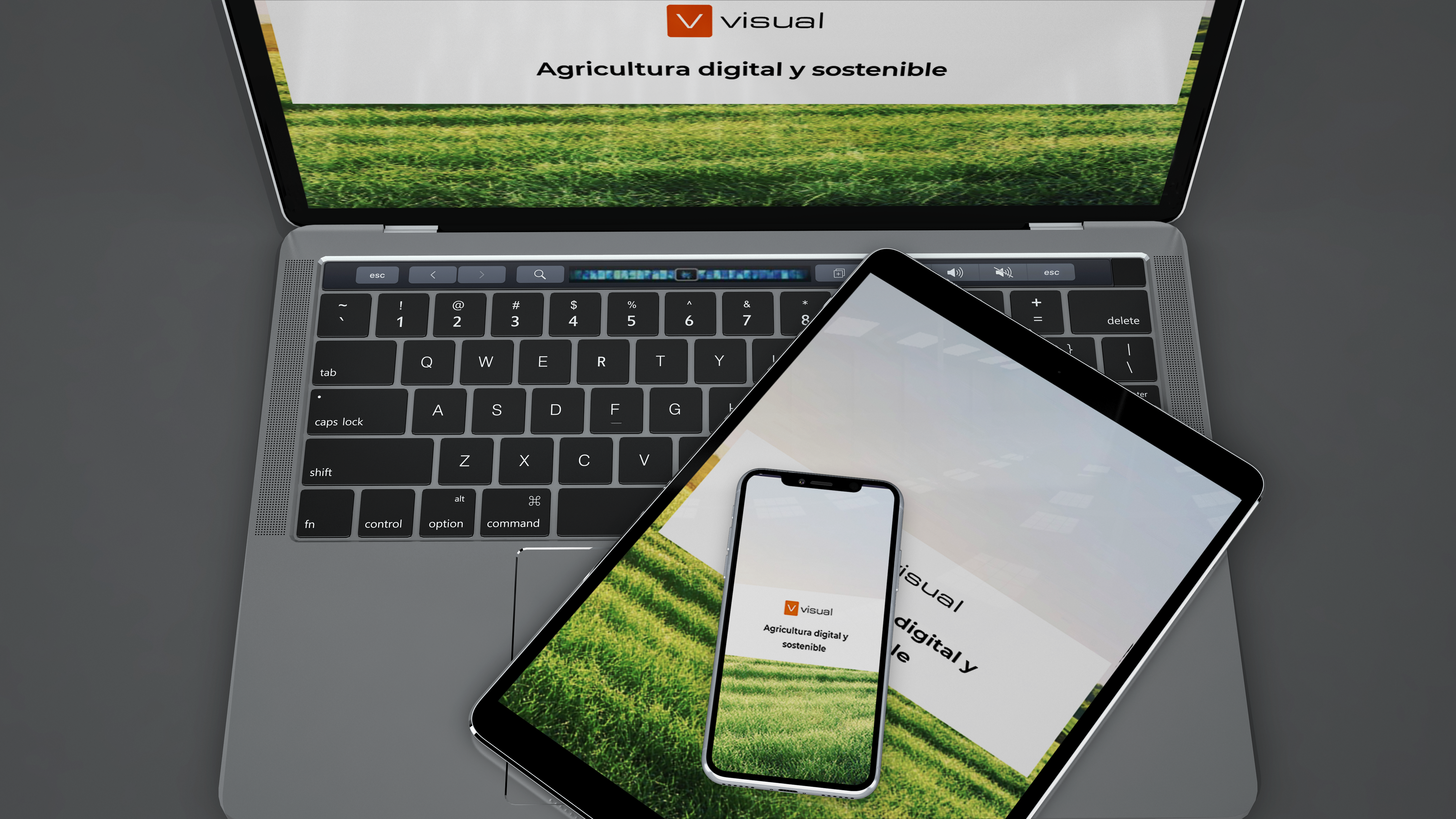
The VISUAL solutions are mobiles
Have all the information at your finger-tips everywhere. Visual App allows you to consult and to register all the activities in all the places independently if you have connection or not. It allows you to synchronise all the information introduced when you have internet access will be available in the cloud for all the devices.
Do you want to know which VISUAL Solution best suits you?
If you have questions about any functionality or want us to advise you which of the VISUAL solutions best suits you, contact us.

